From the Pueblo West Plant to the Arkansas River: How a Discharge Travels
On public maps, water leaving the plant’s outfall reaches the Arkansas River by way of Pest House Gulch and Wild Horse Creek, a few miles away. How much of any release gets there has not been measured in public records.
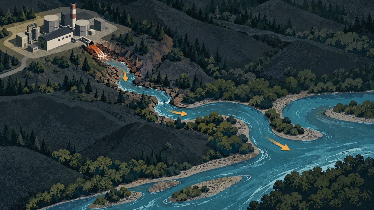
When Pueblo West’s wastewater plant discharges, whether normally or in a spill, the water follows a short chain of small waterways. This explainer describes that chain using public maps and the district’s own notice of the October 13 releases. It is not a water-quality advisory.
The path
- The plant. EPA’s ECHO database lists the Pueblo West Metro District wastewater plant at 1370 East Grouse Drive, at about 38.314° N, 104.675° W. The same ECHO page notes that a separate permit record lists different coordinates, so the point is approximate.
- Pest House Gulch. The district’s notice says the first October 13 release went “through the plant outfall” into Pest House Gulch and Wild Horse Creek. Gulches like this are often dry except for plant flows and storms (general background, not sourced to this site). Pest House Gulch does not appear as a named waterway in the OpenStreetMap data we searched, so the first leg is not drawn on our map.
- Wild Horse Creek. KRDO, KOAA and the district all name Pest House Gulch and Wild Horse Creek as the two waterways that received the October 13 releases. On OpenStreetMap, a stream named Dry Creek feeds Wild Horse Creek about 2 miles northwest of the plant, and Wild Horse Creek then runs south. We measured roughly 5.6 miles of mapped Wild Horse Creek channel from its mapped start to its mouth.
- The Arkansas River. On the same map, the creek’s last mapped point is at about 38.273° N, 104.635° W, and it meets a mapped segment of the Arkansas River there. In a straight line from the plant, that is about 3.6 miles. The creek’s actual length is longer (our measurement from map coordinates).
Why it matters
- The map is schematic. It does not show how much of any release reached the river. Dilution, soaking into the streambed and evaporation all reduce what arrives. None of that has been measured in public records we found.
- Which part of the river? The mapped creek mouth sits west of the point where OpenStreetMap shows Fountain Creek reaching the Arkansas. Fountain Creek’s mapped lower end is at about 104.589° W, roughly 2.5 miles east. If that holds, Pueblo West water would enter the Arkansas upstream of Fountain Creek and upstream of where the City of Pueblo’s August spill discharged. That is our inference from the map, not an agency statement.
- What the agencies said. The state’s August advisory for the City’s spill covers the river downstream of Fountain Creek, according to the Kiowa County Press. For the October 13 releases, the district asked people to avoid contact with Pest House Gulch, Wild Horse Creek and “immediate downstream areas.” KRDO reported that the Pueblo health department told people to “avoid fishing, kayaking or swimming downstream until further notice,” without naming a stretch of the Arkansas.
- What was discharged. The district described the first release (about 54,000 gallons) as “fully treated but non-disinfected” and the second (about 185,000 gallons) as “partially treated and partially disinfected.” Ultraviolet disinfection is the step aimed at bacteria such as E. coli. As of October 17 we found no published E. coli results, so we do not know how much bacteria was present.
What to check next
Sample results from the effluent channel and the creek mouth; the state’s incident record; and a field check of where the gulch meets Wild Horse Creek and where the creek meets the river. Confirm the mouth’s location with the state health department or the county before relying on the upstream-of-Fountain-Creek point.